Short ride
Sluis
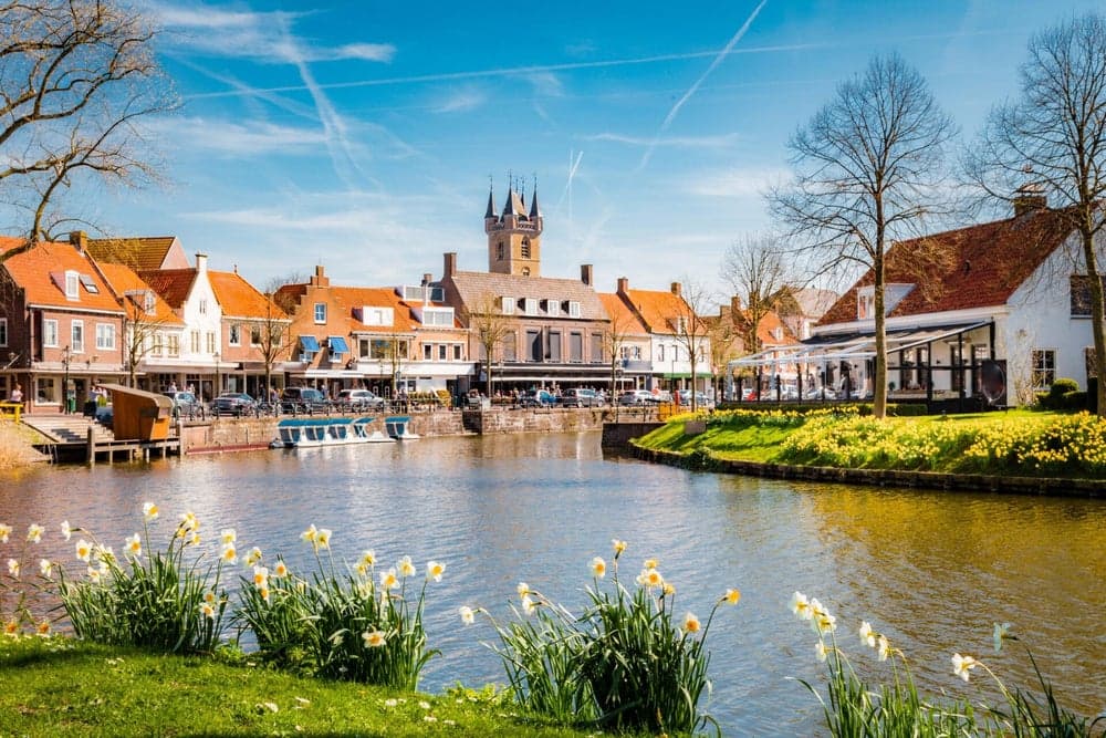
Across the border to Sluis in the Netherlands.
- One way
- 18 km
- Time
- ≈ 1 h
- Ride type
- Short ride
On the road
Cycle-network junctions you pass
- 23(km 1.9)
- 50(km 3.5)
- 2(km 4.4)
- 10(km 4.5)
- 34(km 6.7)
- 51(km 7.1)
- 22(km 8.6)
- 17(km 8.9)
- 29(km 9)
- 47(km 9.7)
- 74(km 12.6)
- 24(km 12.7)
- 54(km 14.7)
- 94(km 16.3)
Flanders' cycle network is signposted with numbered junctions. These are the ones along this route, in order from the shop (handy for checking you're still on track). The map and the GPX file remain the reference.
Road surface
- Smooth 93%
- Cobbles 7%
41% on cycle paths and car-free roads
Junctions: Toerisme Vlaanderen / Westtoer (2026 network)
Road data © OpenStreetMap contributors
Across the Dutch border to the charming town of Sluis with its windmill and little shops. Flat polder roads — don't forget your ID.
Before you set off
- Ask us for a free map when you set off. We'll point you to the prettiest way.
- Wear a helmet and follow the signs and traffic rules.
- Check the weather before you set off and bring water.
- Drinking water on the way: km 1.9.
- Bike repair station on the way: km 2.5.
Along the way
What you pass between our shop and Sluis, from OpenStreetMap.
Our shop
km 0.0
Koeleweimolen
Windmill · km 1.9
Pizza Di Trevi
Restaurant · km 1.9
Drinking water
km 1.9
Toilets
km 1.9
Bike repair station
km 2.5
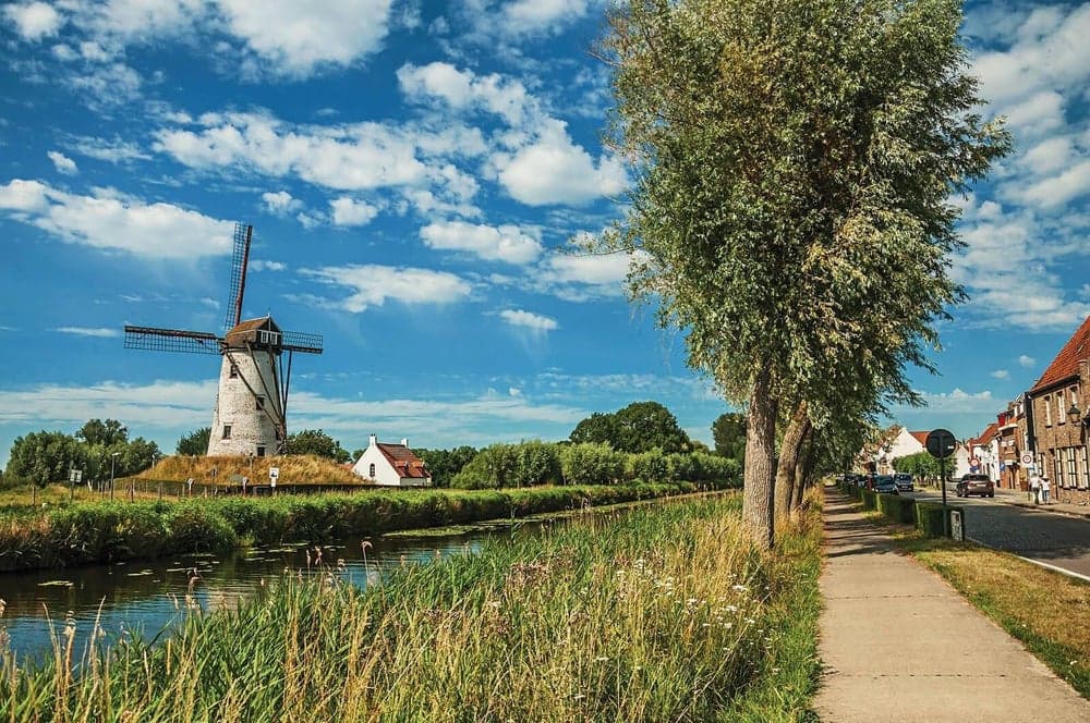
Schellemolen
Windmill · km 6.5
Soetkin
Restaurant · km 6.7
Ter Polders
Restaurant · km 9.7
Ter Kade
Café or bar · km 17.0
Vesting Sluis
Castle or historic house · km 17.1
Toilets
km 17.1
Sluis
km 17.1
Opening hours vary, so check before you stop. Places: © OpenStreetMap contributors